Maps, Walks and Apps
Project Alleycat encourages people to explore the alleys. To help we have produced maps, host guided walks and have an app.
The map was hand drawn for us by Elaine Guilding. We have produced it in many formats. The largest is in the window of Acorns in the High St, it can be bought in A2, A3 & A4 sizes, on a teatowel and will shortly feature in a book, a new edition of J Rogers "Short History of the Alleys, Courts and Lanes of Tewkesbury", first published in 1905. Maps and tea towels are available from Tourist Information, 100 Church St.
For this who prefer a living, breathing guide to a map, Alleycat have been running a series of "Alley Strolls". Led by Steve Goodchild &/or Geoff Sallis these last about 2 hours and cover different routes, as the mood takes him. Walks usually run weekly, on a Wednesday, in Spring/Summer and once a month on Sunday when it gets darker. See News & Events for the latest dates.
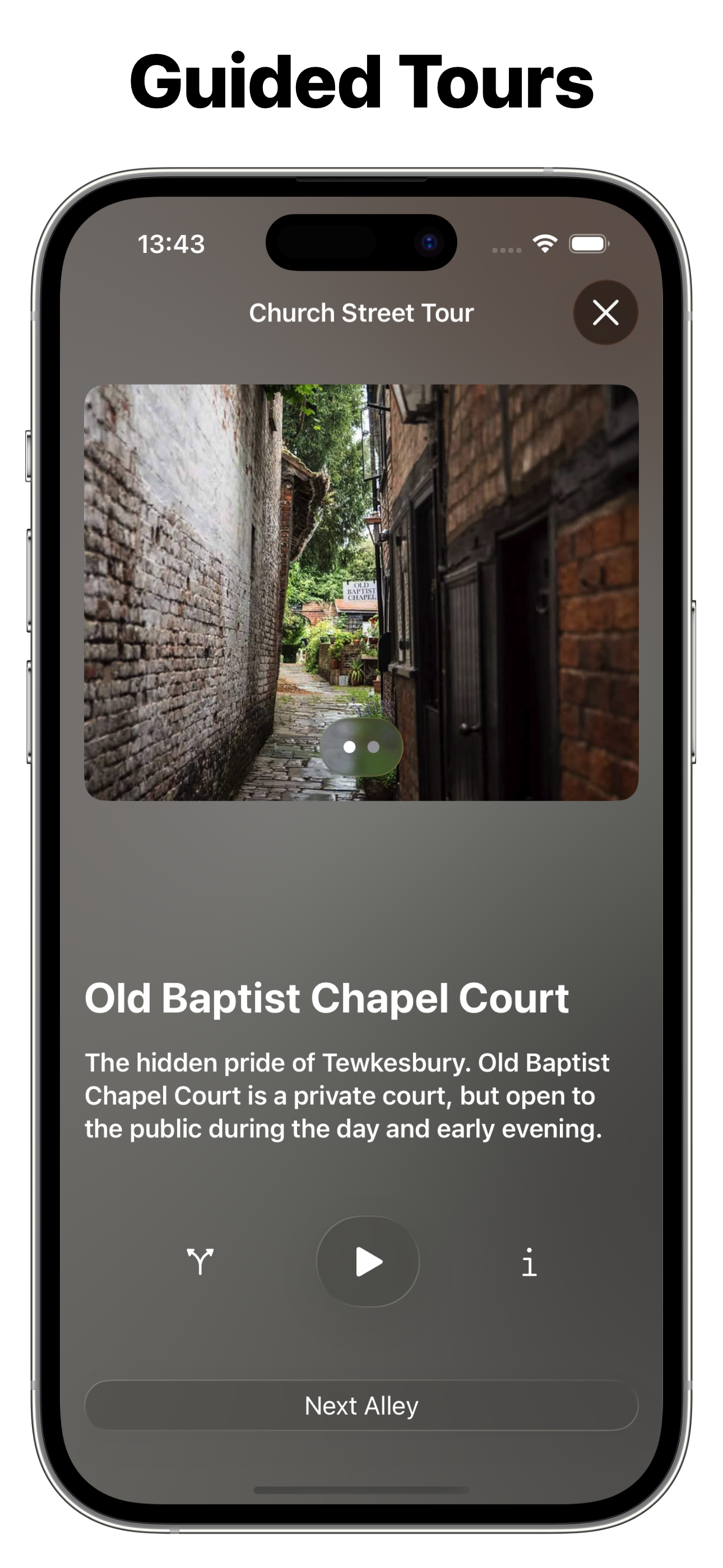
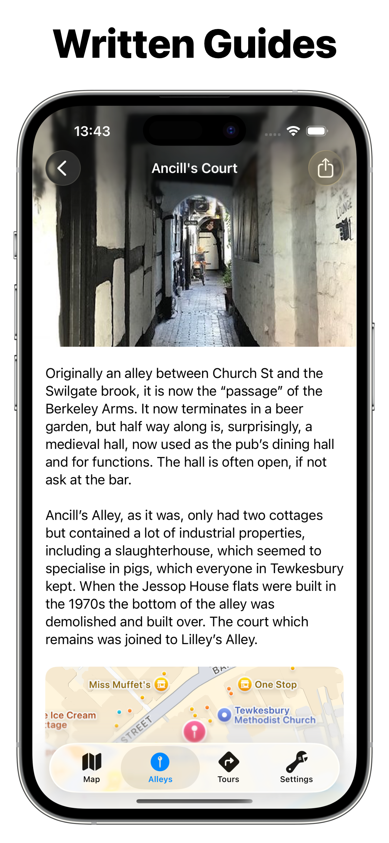
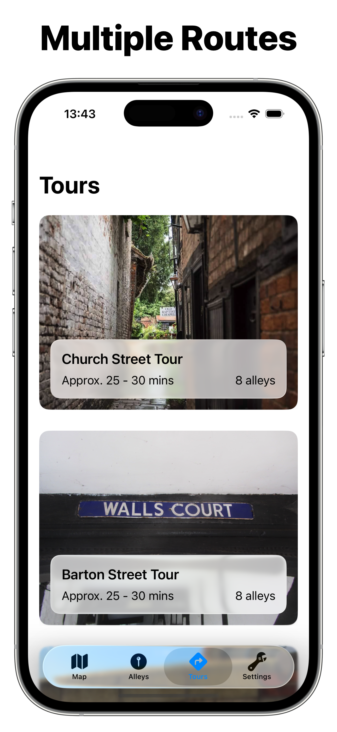
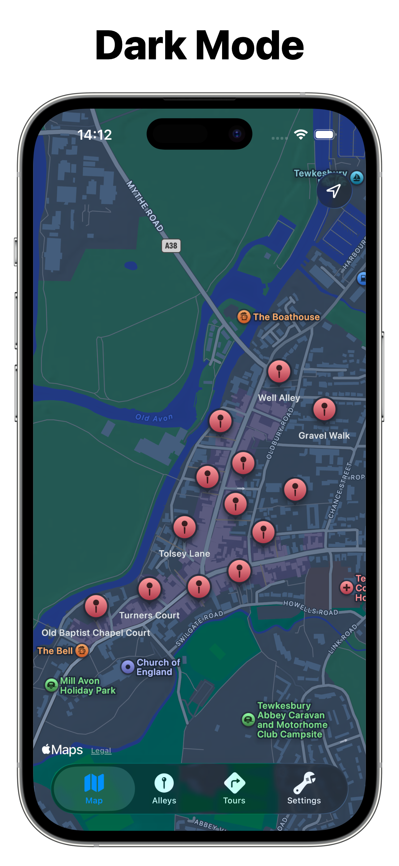
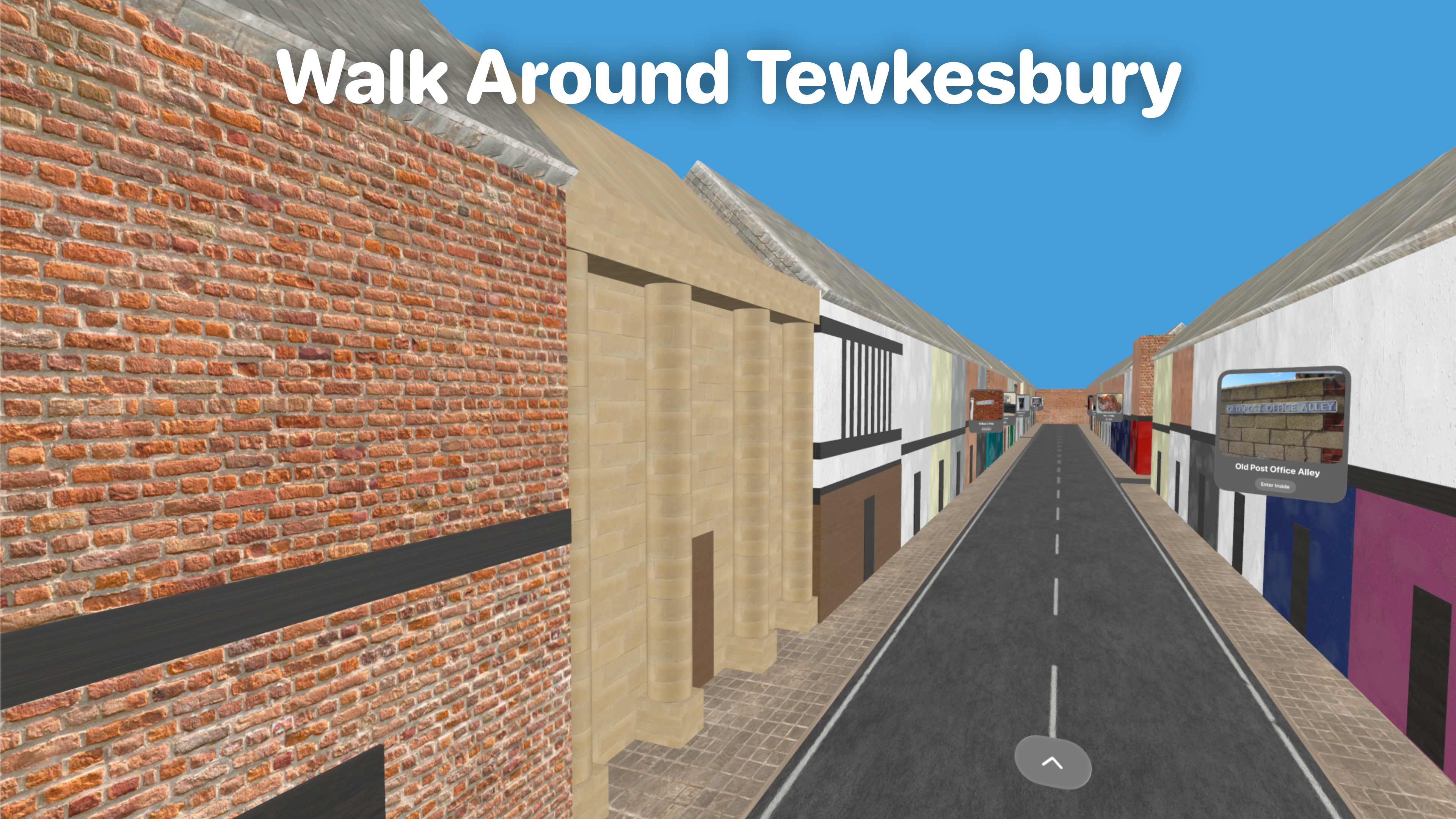
Finally, we have also published an app. Developed by Bilaal Rashid, this provides a audio-visual tour of the alleys with information on each one. It is available on the Play Store and App Store for Android, iOS, iPadOS, macOS and visionOS. No ads, no fees.